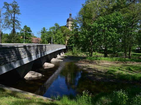
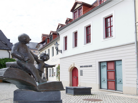
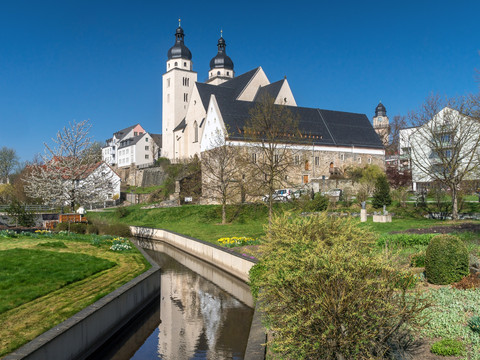
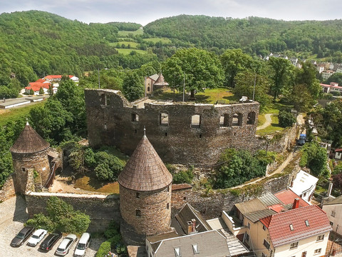
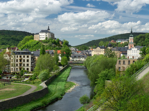
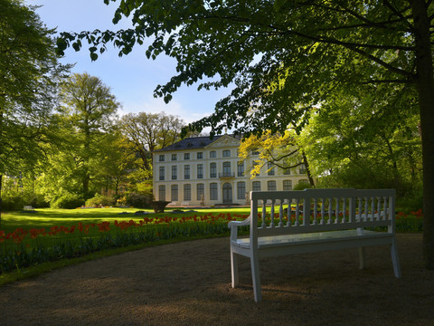
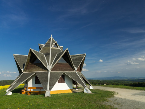
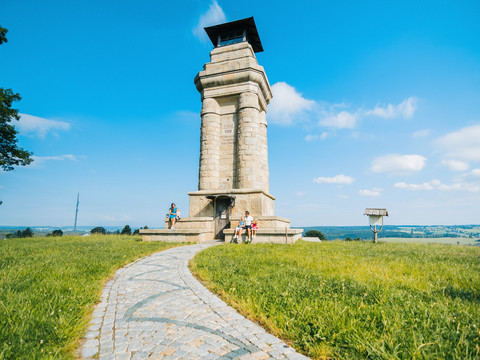
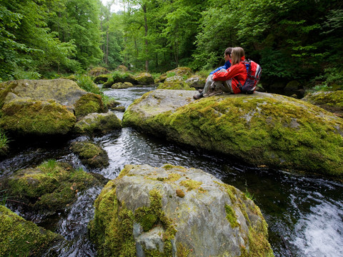
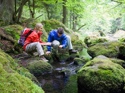
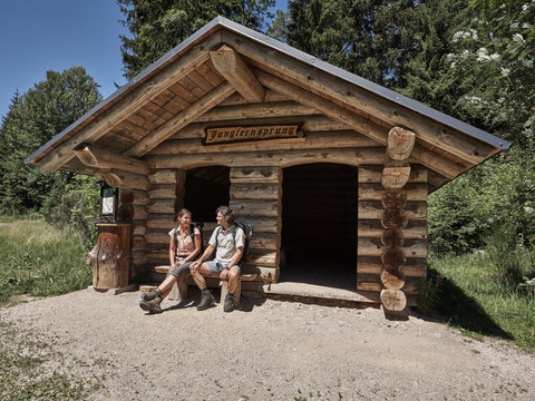
Experience your personal symphony of nature. Enjoy 12 varied stage hikes on the Vogtland Panorama Trail through the enchanting landscape of Vogtland. The most comfortable way is "hiking without luggage" as part of our travel offer.
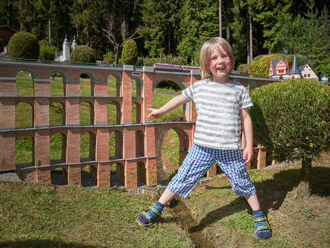
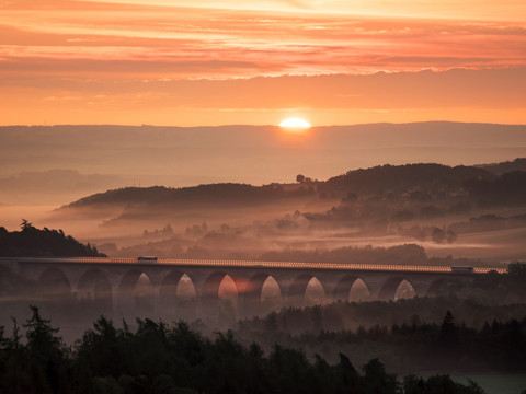
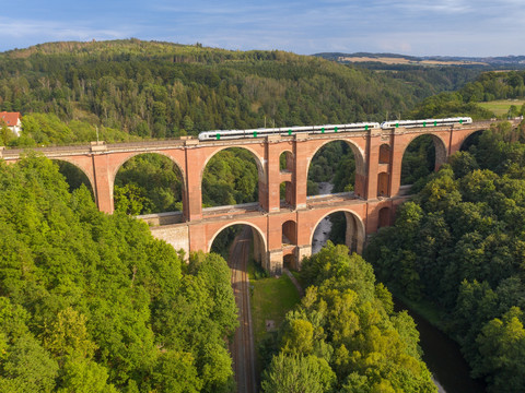
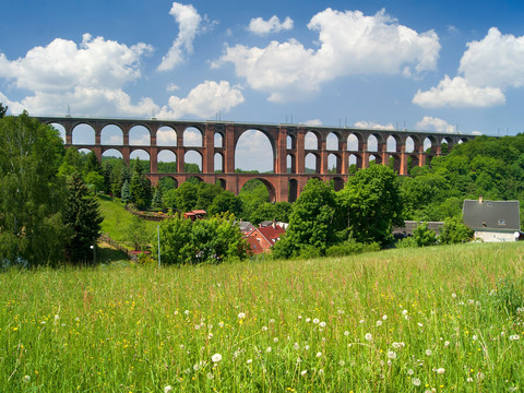
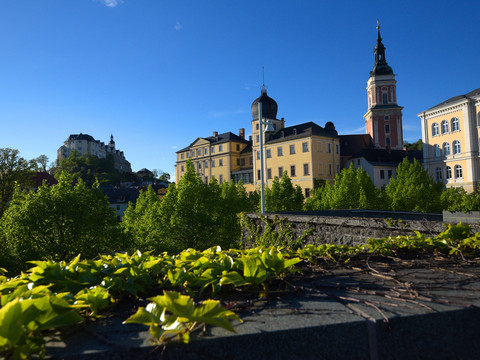
The 225 most beautiful kilometers through Vogtland start and end at the Göltzsch Valley Bridge, the largest brick bridge in the world. With twelve daily stages between 12 and 24 kilometers in length, the circular route can be managed by most experienced hikers. Of course, partial sections are also suitable for shorter hikes. Over the Köhlersteig, the route first leads towards Greiz in the Thuringian Vogtland through the Vogtland Switzerland and passes west of the leading town Plauen.
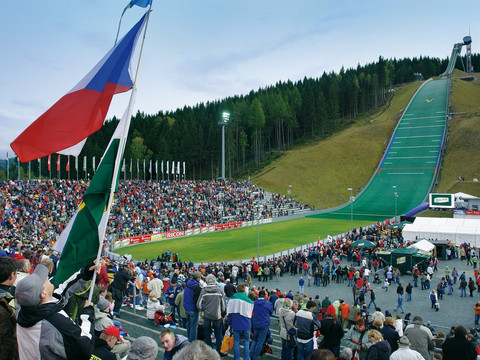
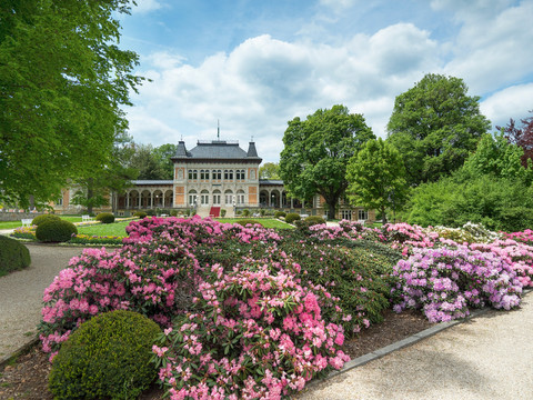
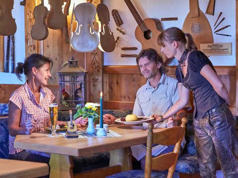
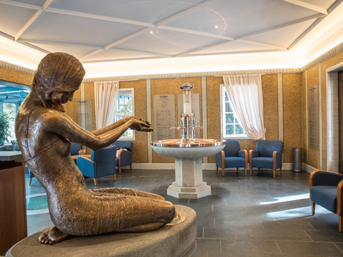
The next stages cross the legendary Burgstein region, pass the Pirk reservoir and Oelsnitz, before the Vogtland Panorama Trail reaches the Saxon spa towns Bad Elster and Bad Brambach. After a detour to Czechia, hikers find themselves in Markneukirchen and experience the traditional “Musikwinkel” with the towns of Erlbach and Klingenthal, where the 936-meter-high Aschberg is directly on the route.
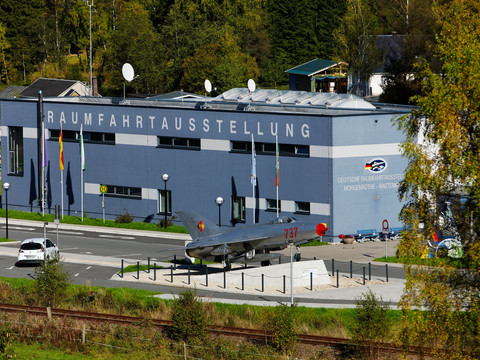
Through Morgenröthe-Rautenkranz with the German Space Exhibitionit goes around the Waldpark Grünheide, where the route turns towards the Western Ore Mountains and Schönheide comes into view.
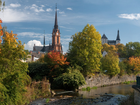
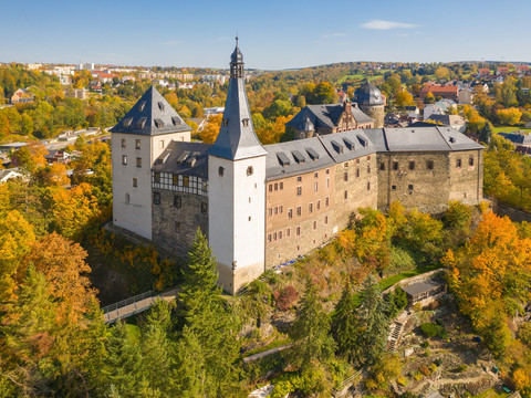
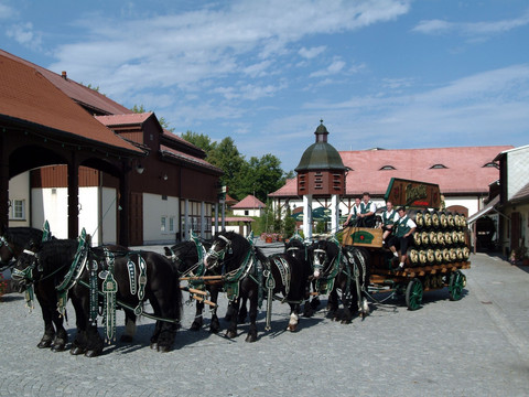
After Wernesgrün, known for Wernesgrüner beer, Rodewisch and Lengenfeld soon come into sight, later the impressive Mylau Castle and the circle closes once again at the Göltzsch Valley Bridge.
TIP 1: Through our Vogtland booking service buchungsservice@vvvogtland.de, an all-round carefree package with luggage transfer and lunch package can be booked. Just click here.
TIP 2: From May 2025, ambitious hikers on the VPW® can collect the popular digital hiking and route badges on their smartphone. For this, the SummitLynx app is required. This allows the conquered peaks and routes to be recorded at control points in a personal digital tour book, optionally enriched by self-taken photos. Collect hiking badges here.

