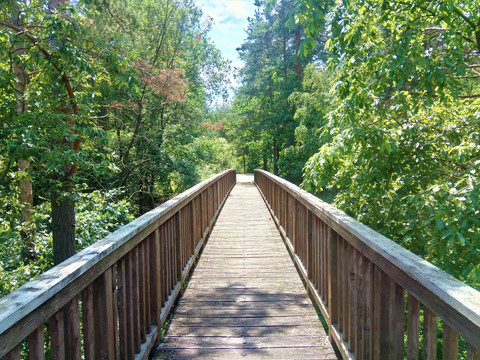
The Spree Cycle Route leads from three sources of the Spree River over 410 km from the idyllic Upper Lusatia to the vibrant Berlin. Always following the course of the river, it passes through wonderfully green fields and forest landscapes. The diverse landscape of Upper Lusatia can be actively explored excellently on the Spree Cycle Route.
From the mountain source…
The highest source of the Spree is located on Mount Kottmar (583 m). The source with the highest water volume is in Neugersdorf, and the most beautiful origin of the river is framed by the Spreeborn in Ebersbach. Each of the sources lies in Upper Lusatia. The diversity of the landscape along the Spree invites you to recharge your energy. The cycle route, mostly on paved sections, passes traditional half-timbered houses with their wooden door arches and intricate slate work.
… through historic towns, through the UNESCO biosphere reserve Upper Lusatian Heath and Pond Landscape …
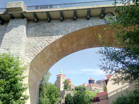
From the Upper Lusatian Hill Country, the route continues towards the 1,000-year-old town of Bautzen and through the UNESCO biosphere reserve Upper Lusatian Heath and Pond Landscape.
... to the Lusatian Lake District!
At the end of the approximately 120 Saxon kilometers, there is a seamless transition into the largest man-made water landscape in Europe. After a scenic ride through Upper Lusatia, the cycle route leads through Brandenburg via Spremberg, Cottbus, and Spreewald before finally reaching Berlin.


